access to Internet
People have a right to access to affordable, high-quality cell/internet services and digital technologies and the literacy necessary to meaningfully utilize them. Below you can find data sources to help determine your access level.
Overview
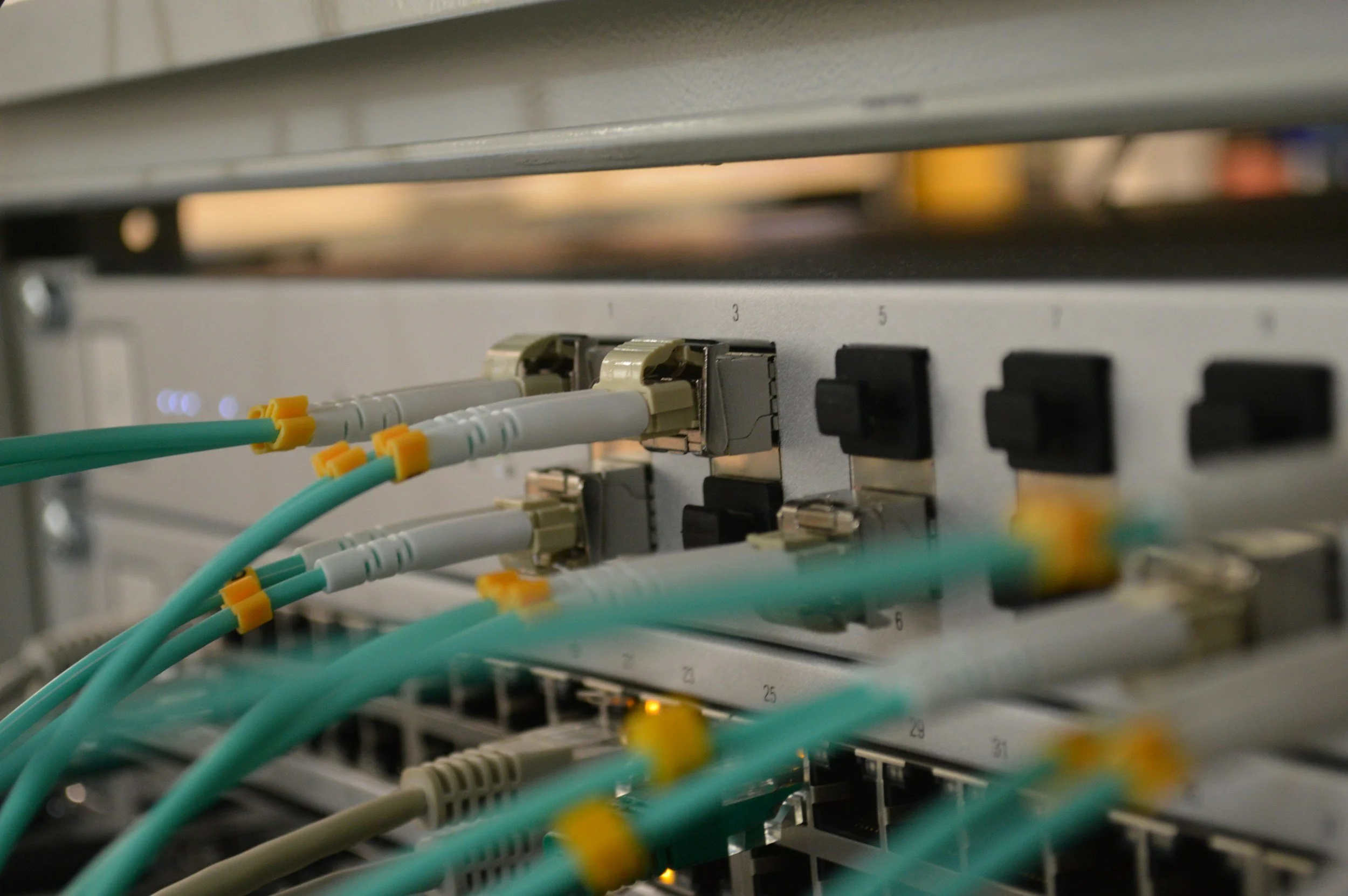
Reliable broadband access is essential for participation in modern life, affecting education, employment, health care, and communication. Gaps in high-speed internet infrastructure create “digital deserts,” which disproportionately affect rural and low-income communities. Limited connectivity compounds other social and economic stressors, including access to telehealth, remote work, and online learning.
National Data Sources
FCC National Broadband MaP
The FCC National Broadband Map provides detailed broadband availability data across the United States at the census-block level. It allows users to view which service providers operate in a given area, the types of broadband connections available, and reported download and upload speeds. The map displays coverage for both fixed and mobile broadband networks and enables comparison of broadband access and performance across different geographic areas.
Instructions: Open the FCC National Broadband Map > enter a street address, city, county, or ZIP code in the search bar > zoom in until individual census blocks appear > open the Layers or Filters menu > turn on Fixed Broadband and Mobile Broadband > select a speed threshold such as 25/3 Mbps, 100/20 Mbps, or 1 Gbps to determine service levels > review the color-coded map to see where broadband is available and where gaps exist > click directly on a home, street, or census block > view the list of internet providers, maximum download and upload speeds, and network type (fiber, cable, DSL, wireless, or satellite) > use this data to identify unserved and underserved areas and compare broadband access across neighborhoods and regions.
EJScreen Broadband Gap Tool
An updated version of the EPA’s EJScreen tool hosted by Public Environmental Data Partners that includes a Broadband Gap indicator under the Critical Service Gaps category, highlighting communities with limited internet access and persistent broadband infrastructure inequities.
Instructions: Open tool > select Critical Service Gaps > choose Broadband Gaps to visualize coverage disparities > consult “map contents” colorized key in top right hand corner for key for percentage ranges of limited broadband > for the exact percent of a certain area simply click on the area on the map
Connected Nation’s BEAD Tracker
The Connected Nation BEAD Tracker compiles data from state BEAD final proposals to show how broadband funding is being deployed nationwide. It allows users to see provider coverage, connection speeds, broadband adoption, BEAD funding allocations by state, unserved and underserved locations, planned infrastructure buildouts, and equity and digital inclusion priorities.
Instructions: Open the Connected Nation BEAD Tracker > select a state from the interactive map (top right) or dropdown menu > choose a data category such as approved , BEAD allocation, and Percent FIber > use the colorized map legend to understand broadband gap percentages > click on a county or region > review the pop-up panel showing broadband availability, adoption rates, unserved and underserved locations, and BEAD funding allocations > compare multiple counties to see where federal broadband investment is being targeted > use this data to track where new infrastructure is planned and which communities remain disconnected.

EPA Region 4 State Broadband Programs
Each EPA Region 4 state; Alabama, Florida, Georgia, Kentucky, Mississippi, North Carolina, South Carolina, and Tennessee—maintains state broadband offices supported by NTIA’s Broadband Equity, Access, and Deployment (BEAD) Program.
These offices are responsible for planning, coordinating, and implementing broadband expansion efforts to ensure that every community has access to reliable, high-speed internet. Through BEAD funding, states identify unserved and underserved areas, engage local governments and providers, and invest in infrastructure that supports economic development, education, healthcare access, and environmental and climate-resilience initiatives. Together, these state broadband offices form a critical regional network working to close the digital divide and strengthen the long-term competitiveness and sustainability of the Southeast.
Here are the official broadband office websites for each EPA Region 4 state (Alabama, Florida, Georgia, Kentucky, Mississippi, North Carolina, South Carolina, and Tennessee), where you can find state-specific BEAD program details, contacts, and resources (as required under NTIA’s Broadband Equity, Access, and Deployment Program):
Below is the State Broadband Offices Directory to find the broadband office in your state.
South Carolina Internet Access Maps/Programs
South Carolina ORS Broadband Map
Interactive state map showing broadband coverage, connection speed, and provider availability per address. Used by policymakers and planners to identify unserved and underserved areas in South Carolina.
Instructions: Open the broadband map → enter a street address or zoom to a specific area in South Carolina → use the legend and layer controls to view available providers, connection types, and reported download and upload speeds → compare coverage to identify unserved and underserved areas.
BestNeighborhood.org/Charleston Fiber & Internet
BestNeighborhood.org shows local internet options in Charleston, SC, including which fiber providers serve the area, typical speeds, and where service is available. The page uses maps and simple stats to help residents compare broadband coverage and performance.
Instructions: Open the Charleston broadband page → scroll to view available internet providers and typical speed ranges → use the map to compare broadband availability and performance across neighborhoods.
American Community Survey (ACS): Smartphone & Internet Access
The American Community Survey (ACS), produced by the U.S. Census Bureau, provides household-level data on internet subscriptions and device access and is a primary source for identifying smartphone-only households and households with no internet access, both of which indicate increased reliance on mobile services and a heightened need for mobile assistance programs.
Instructions: Open data.census.gov → search for table B28002 or S2801 → select the most recent 5-year ACS estimates → choose a geography such as state, county, or census tract → identify households with smartphone-only access and households with no internet subscription → extract percentages or counts → compare across locations to document mobile access gaps and justify the need for mobile assistance programs such as Lifeline-supported providers.