
prevalence of illegal & criminal activities
People have a right to certain protections from illegal and criminal activities in their community. Below, find data on determining prevalence of crime in an area, as well as resources for mitigation and advocacy efforts.
Community organizations, advocates, and residents need reliable information to understand patterns of violence and crime in their neighborhoods. This website brings together publicly available data sources, research tools, and contextual information to help communities access and interpret local crime and violence data in one place.
At the same time, it is important to recognize that violence and crime data are not neutral. Much of the data presented here are collected by institutions—such as law enforcement agencies or reporting systems—whose practices, priorities, and historical relationships with communities can influence what is recorded and how it is categorized. As a result, the data may reflect institutional and structural biases in addition to actual patterns of harm.
These dynamics often mean that reported rates of violence and criminal activity appear higher in low-income communities and communities of color. While this can be a reflection of real disparities in exposure to violence and structural inequities, it can also reflect differences in policing practices, surveillance, reporting patterns, and resource allocation. Data can therefore tell an incomplete or distorted story if interpreted without context.
The resources on this site are intended to support critical, informed use of data. We encourage users to view these datasets as one piece of a broader picture—alongside community knowledge, lived experience, and qualitative research. Our goal is to help community organizations access information while also acknowledging the limitations, biases, and historical context that shape how that information was gathered and produced, and the narrative it may have been intended to support.
By combining data with community insight and critical interpretation, organizations can better advocate for equitable safety strategies, responsible policy decisions, and investments that support the well-being of their communities.

determining prevalence in an area
national data
AZ Defenders provides Drug Trafficking Statistics in the United States. This data includes a colorized map of the number of federal drug trafficking offenders per state, a table stating the number of federal drug trafficking offenders per 100,000 people per state, and a line graph stating the number of federal drug trafficking offenders by drug type (2017-2021). The source provides a summary of the demographic breakdown of offenders by race, age, citizenship, gender, and prior criminal history.
Zipdo Education Report provides US Prostitution Statistics, including a demographic breakdown of prostitution prevalence based on age, gender, percentage of workers who were trafficked or did not choose the work, geographic city/state/nation, income, and STI/STD prevalence. The source simply provides a bulleted list of highlighted data points.
state data
DrugPolicy provides a drug criminalization interactive map, including misdemeanor and felony data surrounding drug possession and paraphernalia laws.
DrugPolicy Instructions: Open tool > select desired drug law (either paraphernalia or possession) under show by clicking bubble next to the law type > consult colorized legend for degree of crime > click on desired state or select state in drop-down > consult right-hand side tabs for arrest rates, overdose rates, and specifics of the drug possession and paraphernalia laws within the state.
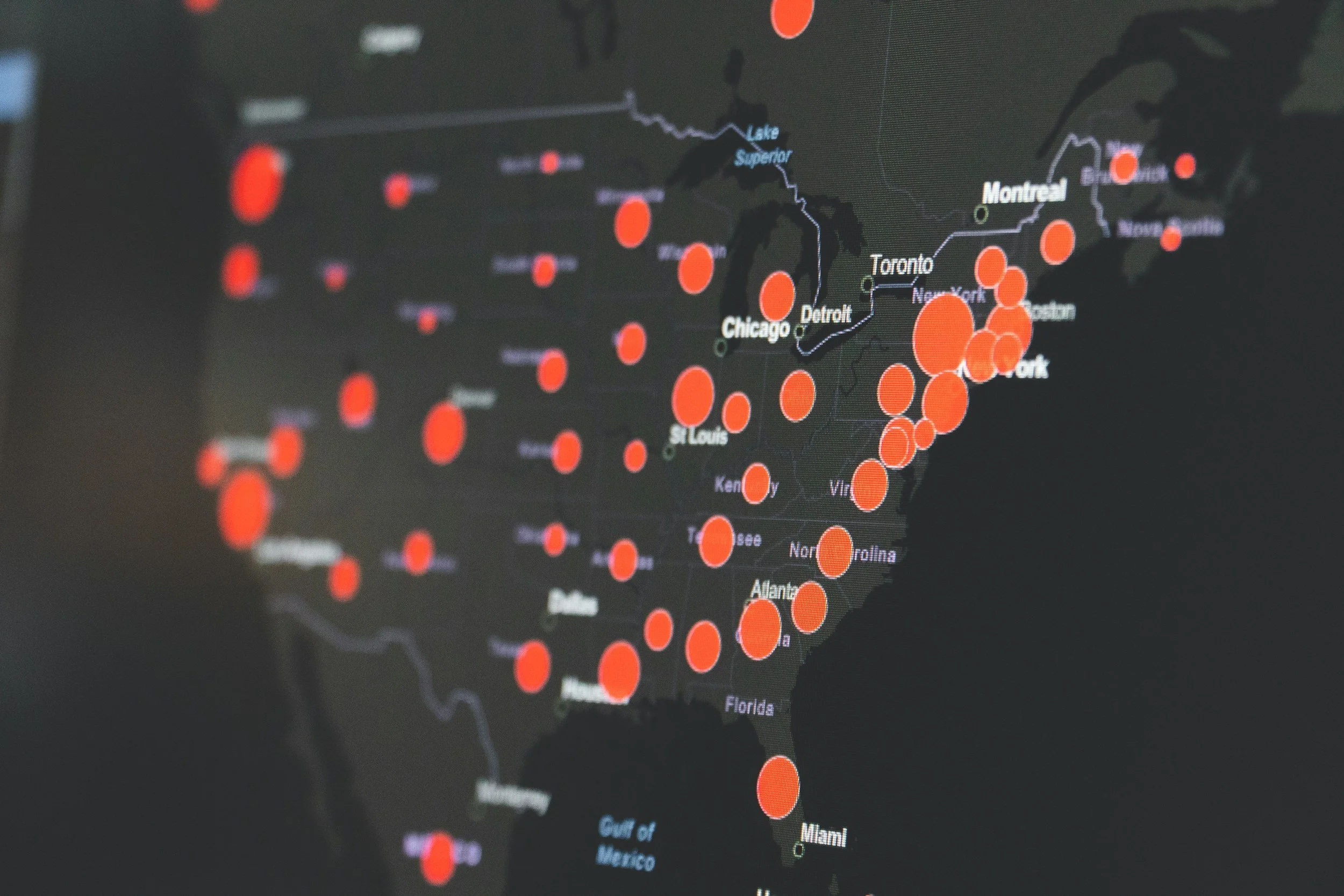
Daily Crime Map is a live crime tracker providing general statistics for multiple cities within 24 US states, 3 of which are categorized EPA Region 4. The map tracks data for burglary, aggravated assault, homicide offenses, larceny, motor vehicle theft, sex offenses, robbery, and simple assault.
Daily Crime Map Instructions: Open tool > choose desired date under “select a date” > choose desired offense under “select offense” > consult colored key for numerical rate per 100,000 residents > click directly on colored circle in map for exact number of offenses and rates
local data
Lexis Nexis Risk Solutions Community Crime Map collects data from a global to a local scale. This tool maps crime events and offender prevalence. 31 different events are each indicated with various symbols.
Lexis Nexis Instructions: Open tool > select either satellite or map in top left hand corner > type in desired location in search bar at the top of the map or simply zoom in and out and drag map to move to where you desire > select the red filter button next to the search bar in order to choose desired filters > under events check the box next to the filter you want displayed or choose select all > under offenders check the box next to sex/known offender > click on crime symbol to see specifics surrounding the crime > to select a distance buffer select the drop down next to buffer and select your desired distance
To select a certain timeframe: select the drop down next to time frame present (this will automatically change the date range) or manually put in data range in top right hand corner > additionally you can heat map for density by clicking analytic layer and checking the box next to density map > select the line graph symbol labeled “charts” in order to see temporal data displayed by various graphs
Economic Costs of Crime data provides both a graph and a table. The line graph provides data on estimated costs (millions of dollars) of crime over a 12-month period for 2023 and 2024 within a selected city. The table provides data with the same parameters but allows for comparison between various offense types.
US Bureau of Justice Statistics provides a Biennial Comprehensive Research and Statistical Review and Analysis of Severe Forms of Trafficking, Sex Trafficking, and Unlawful Commercial Sex Acts in the US. While this resource is dated, the research and trends are still worth analyzing, as many of these trends are still prevalent today. Pages worth noting are provided below:
Figure 1 (page 15): Find a map of the number of reported human trafficking incidents by state (2007-2008)
Table 1 (page 16): Table of the type and number of human trafficking incidents (2007-2008)
Provides numerical and percentage-based data on sex trafficking. Here are the following types: prostitution, child sex, and other sex
Provides numerical and percentage-based data on labor trafficking
Provides numerical and percentage-based data on all other types of trafficking
Table 5 (page 41): Table of arrest rate per 100,000 population for prostitution and Commercialized Vice by state (2005)
Commercialized vice includes transporting and procuring women for purposes of sex and certain types of pornography offenses
World Population Review created a Human Trafficking Statistics by State 2025 Data Interactive Map. The resource is a colorized map providing numerical ranges visually.
World Population Review Instructions: Open tool > hover over desired state for exact number > view table beneath map, which provides numerical breakdown by state as well alongside number of victims involved (each case may involve multiple victims) and type of trafficking (sex vs labor)
Live Crime Tracker’s Daily Crime Comparison Data provides the same data as the map, but just in table form, which allows for comparing values visually among cities. This resource allows you to highlight one city (make it colorized) to see stark differences between the selected city and others. The data provides general statistics for multiple cities within 24 US states, 3 of which are categorized EPA Region 4.
*Disclaimer according to source:* “The “live” data shown in the Live Crime Tracker is not necessarily considered the final data and may change over time as cities remove duplicates and belatedly add records on some days. We update the data shown in the Live Crime Tracker as cities make these changes. We have intentionally exposed those gaps in data, because encouraging more depth and consistency of data is one of our goals.”
SpotCrime interactive map provides trend descriptions, analytic breakdowns, information on cold cases and missing persons.
SpotCrime Instructions: Open tool > select browse by state, which allows you to select your desired state and then city at the top of the page, or type in a location in the search bar > click a symbol on the map to see crime specifics > scroll down beneath the map for the time stamp of crimes
City Crime Profile provides data on the daily number of a variety of different offenses and rates per 100,000 residents for comparison between offenses within a single city.
Live Crime Tracker: The “Trends Over Time” Graphs provide data on the count/ number and rate of a variety of different offenses over a 12-month period within a city. The tracker allows for comparison of the selected city with other cities.