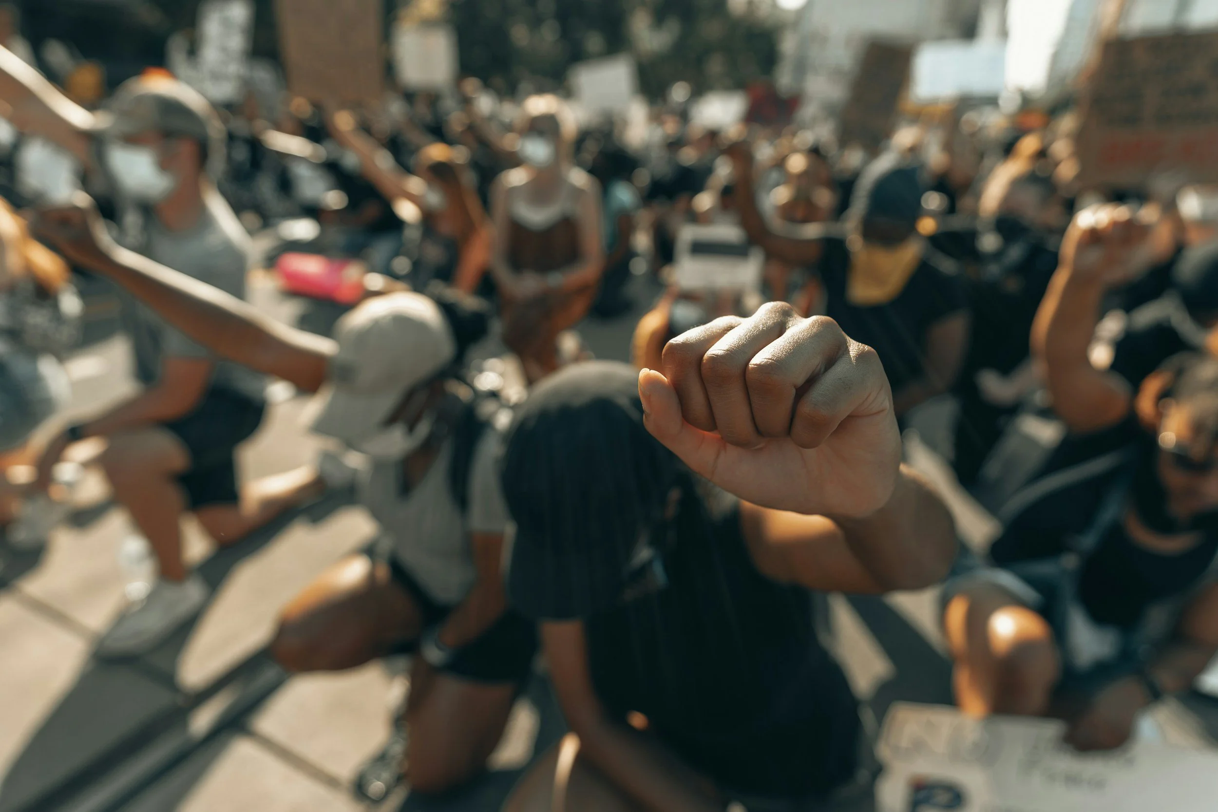
Access to political power
People have a right to political power, typically demonstrated through participation, freedom of expression and assembly, and voting. Below, find data on the distribution of power and measuring access to power.

overview
Under the 14th Amendment: The Equal Protection Doctrine
Ensures that governments apply their laws fairly to all people, prohibiting unreasonable or arbitrary discrimination by government entities.
To learn more about rights that are protected by the Equal Protection Doctrine, click here.
Terminology note: A suspect class is a group of people who have historically faced discrimination and are protected under the Equal Protection Clause of the 14th Amendment, leading courts to apply strict scrutiny when reviewing laws that affect them. Lacking political power prevents marginalized and vulnerable communities from informing those in power, and from influencing decisions that affect their community & environment.
measuring access to political power
According to Ross of University of Virginia Law,
A plurality of the Supreme Court initially suggested that political power should be measured according to a group’s descriptive representation in politics. Under that measure, the mostly white, male, wealthy, and straight makeup of most of the nation’s decision-making councils would indicate that other, less well-represented groups lack political power. This never received majority support from the Supreme Court.
The Supreme Court consolidated around a different measure of political power, one that focused on democratic actions favorable to a group. If laws have been enacted protecting the group from discrimination or otherwise advancing the group’s interest, the Court assumes that the group can attract lawmakers’ attention and therefore does not need judicial protection.
Since enacting this law over 40 years ago, the Supreme Court has not found a single class suspect (see definition above). Does this make favorable democratic action a reliable measure of political power?
Ross argues that favorable democratic action is not always an accurate indicator of a group’s political power, and that courts should rely more on favorable legislative actions, indicators of lobbying activity, political responsiveness, voter turnout, and descriptive representation in politics.
According to Stephanopoulos of University of Chicago Law School,
“If powerlessness had to be produced by prejudice against discrete and insular minorities, it very rarely would be found. At the same time, the political weakness that does handicap many groups, caused by anonymity, diffuseness, poverty, alienation, and the like, would fail to register on the judicial consciousness.”
The level of scrutiny can vary based on groups’ interests and representative processes.
Political power and the influence of most groups, particularly minority groups, does not change much over time. If groups were to gain sufficient political power, there may be no need for extra legal protections for said groups. The very existence of these extra legal protections demonstrates possible inequalities.
environmental justice & political power
Social justice agenda vs. equity agenda
The primary challenge for justice-informed environmental politics is the conflict between social justice objectives (guaranteed rights and needs) and environmental sustainability objectives (preservation of biological diversity)
Injustices can arise from dimensions of globalization, including increasing popularity of new science and technology knowingly creating environmental issues that have implications for vulnerable populations’ ability to retain control over local resources.
With increasing technology, questions of inaccessibility of information arise.
A “justice-as-recognition” approach seeks to address the underlying structural causes of maldistribution of environmental harms.
importance of power surrounding the environment
According to Pellow and Brulle, “Where we find social inequalities, we also find environmental and health inequalities”. Certain spaces can be considered “undesirable” because of the level of pollution in these places, but also the type of people that occupy them.
Access to a healthy and clean environment is increasingly distributed by power, class, and race. More political power/knowledge = increased ability to navigate these harms.
There are major differences in exposure to harms/ access to resources in affluent, well-connected groups vs the poor and powerless.
The “other” of society—those outside of the dominant cultural, political, and economic elite classes—experience the brunt of the “bads” of industrial production and the limits to growth.
The Environmental Justice Movement is a political response to this inequality. A more equal distribution of power can lead to a more equitable distribution of environmental harms and more effective solutions.
data based on location
The Movement Advancement Project provides democracy ratings by state. This resource is an interactive map that allows you to visualize the state’s democracy rating relative to other states.
Movement Advancement Project Instructions: Open Tool > scroll down slightly to view the map > consult colorized key for whether your state ranks negative, low, fair, medium, or high for the policy tally > click directly on desired state for a breakdown of the rating > to get straight to the rating, click the grey choose a state box at the top of the page and select your desired state.
“Civic Desserts-60% of Rural Americans Lack Access to a Political Life” (2017) from the Center for Information and Research on Civic Learning and Engagement includes data on a broader scale (urban, suburban, rural).
See “Access to Institutional Resources by Geography” Diagram within the article. Key points from the diagram include:
Civic deserts are characteristic/primarily composed of rural youth (59.7%) compared with only 29.5% of urban youth and 31.9% of suburban youth
High access to institutional resources for civic engagement is much more prevalent for the youth in suburban areas (43.3%) compared with only 16.7% of rural youth and 42.7% of urban youth
This article also provides other statistics related to alienation and the likelihood to vote for certain politicians based on the degree of civil engagement.
Gerrymandering Project: Redistricting Report Card provides a grade based on the degree of fairness in redistricting. A Grade of “A” equates to the fairest in treating parties symmetrically and in the district vote shares following the natural distribution of voters.
Metrics used in this report include:
Partisan features
Geographic fairness
Partisan composition
Minority composition
Gerrymandering Project Instructions: Open tool > consult colorized key at the bottom of the map for an understanding of the grade distribution across the US > click on desired state for metrics and breakdown of the overall score based on various factors, which are scored individually contributing to the composite score
Plan Score-Electoral District Maps provides a colorized map evaluating fairness through the degree of gerrymandering, which is measured through a percentage of four factors between both parties:
(1) Efficiency gap
(2) Partisan bias
(3) Mean-median
(4) Declination
The map provides data from 1972-2024 for US House, State House, and State Senate.
The provided democracy rating can help us better understand political power in certain areas. The rating is based on voting eligibility (includes the number of population eligible in 2025 and the turnout by percent of eligible voters in 2024, the number of house seats in 2026, and the percentage of presidential vote by party in 2024.)
Individual scores and ratings are given for the following factors:
Voter registration
Representation and participation
Voting in person
Voting by mail
Election security
Independence and integrity
Plan Score - Electoral District Map Instructions: Open tool > select either U.S House, State Senates or State Houses at top of map > select desired year on top line under the map > click the triangle play button next to the time line in order to see a live progression over time (between 1972 and 2024) > click on desired state to pull up a breakdown of the score.
MapAgora Civic Opportunity Map provides county to nationwide data, including an interactive map showing the percent of engagement opportunities across different sectors that make up civic opportunity across the United States. Relevant sectors such as political, research and think tanks, and unions are included as percentage breakdowns comprising the overall index of opportunity.
MapAgora Instructions: Open tool > use the + and - in the upper left hand corner to zoom in and out of different states and counties > consult “Primary Organization Type” key on the right hand side of the map for a key to the colorized map > click on desired state/county to bring up percentage breakdown of each organization type > select bubble next to civic opportunity counts in top right hand corner to see solely the counts related to the index > consult “Civic Opportunity index” key on right hand side of the map for a key to the colorized map > click on desires state/county to bring up raw and organizational counts alongside sociodemographic indicators.